Last updated 2026-07-25
TL;DR
Boulder County requires defensible space clearing (0-5, 5-30, 30-100 ft zones) and, in some fire districts, Wildfire Partners certification for better insurance outcomes. There's no single countywide fire code deadline, but California's statewide Zone 0 ember-resistant zone rule (AB 3074) is expected to take effect no earlier than 2026 once CAL FIRE finalizes regulations, and it's a preview of where mitigation standards nationwide are heading.
What does Boulder County actually require for wildfire mitigation?
Boulder County doesn't have one single wildfire ordinance that covers every property the same way. Instead, requirements come from a patchwork: county land use code for new construction, individual fire protection district rules, and the voluntary-but-increasingly-necessary Wildfire Partners certification program run through Boulder County and CSU Extension. For new homes and major remodels in the county's designated Wildfire Hazard Area, Boulder County Land Use Code requires a wildfire mitigation plan reviewed by the county before a building permit is issued. That plan generally covers defensible space clearing, ignition-resistant construction materials (Class A roofing, ember-resistant vents), and access for fire apparatus. For existing homes, the sharper edge right now isn't the building code, it's insurance. Wildfire Partners, the free assessment and certification program Boulder County runs with CSU, sends a mitigation specialist to your property, gives you a written action list, and issues a certificate once you complete the work. Some insurers in Colorado's surplus lines market and the FAIR Plan have started asking for that certificate or something equivalent as a condition of binding or renewing a policy. [Local fire district requirements vary. Check with your district: ______ (Boulder Rural, Mountain View, Sugarloab, Fourmile, etc.) for defensible space clearance requirements, permit rules for prescribed burns, and any local wood-shake roof bans specific to your area.]
What are the defensible space zones and how wide do they need to be?
| Zone 1 | 0-5 ft | Noncombustible surfaces, no vegetation touching structure | |
|---|---|---|---|
| Zone 2 | 5-30 ft | Spaced plants, mowed grass, no ladder fuels | |
| Zone 3 | 30-100 ft | Thinned trees, crown separation, debris removal | For plant selection specifics and what to put in that 5-foot zone instead of mulch, see fire safe landscaping next to your house. |
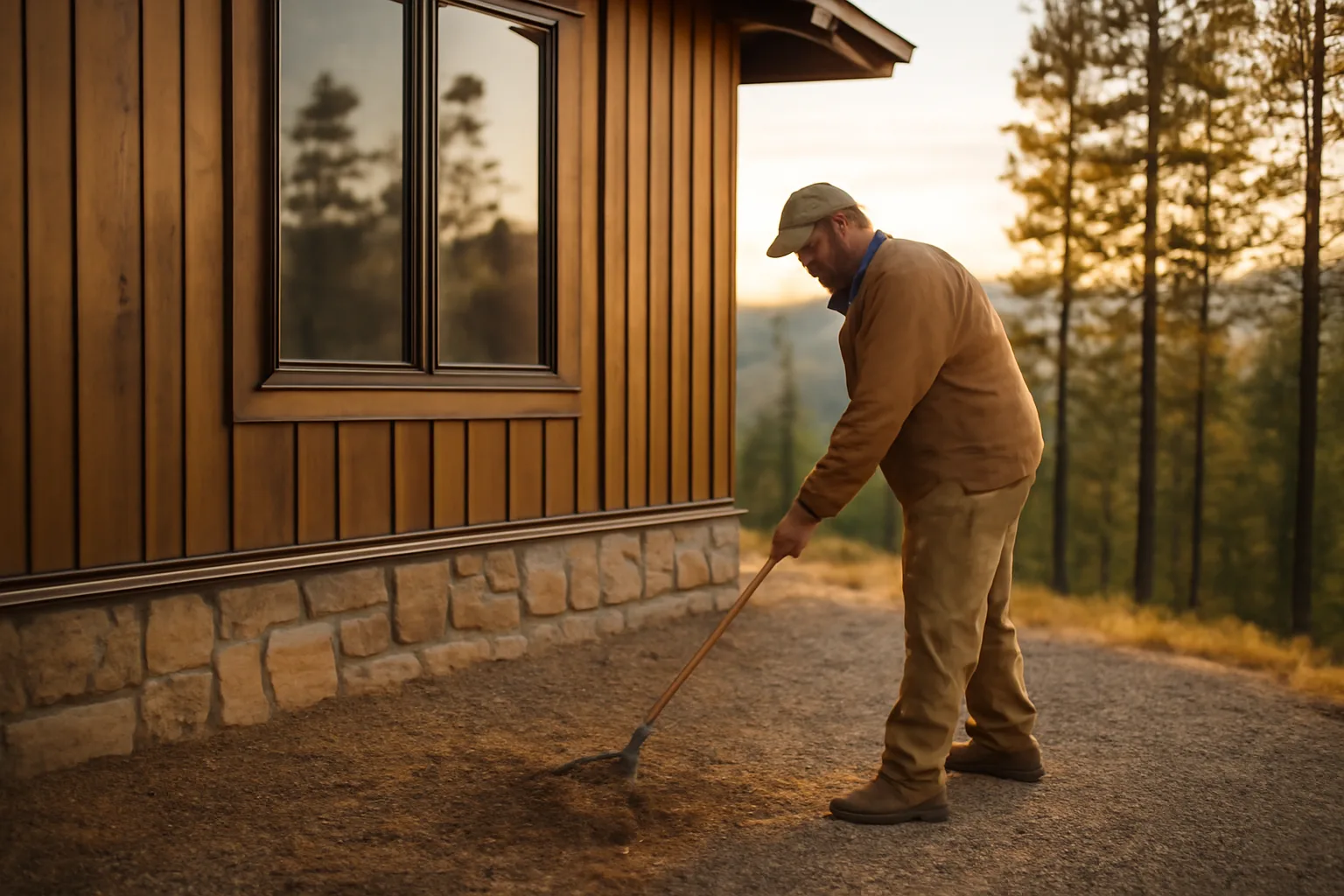
Colorado doesn't have a statewide mandatory defensible space law like California's, but Boulder County and CSU Extension both recommend the same three-zone structure that CAL FIRE uses, because the physics of ember and radiant heat exposure don't change at the state line. Zone 1 (0 to 5 feet from the structure): This is the highest-value zone and the one insurers scrutinize hardest. Remove all flammable vegetation, mulch, and stored items touching or overhanging the house. CAL FIRE's ember-resistant zone guidance calls this the "noncombustible zone" and recommends gravel, pavers, or bare soil instead of bark mulch or shrubs against the foundation [1]. Zone 2 (5 to 30 feet): Space out trees and shrubs, keep grass mowed to under 4 inches, remove dead vegetation and ladder fuels (the low branches and shrubs that let a ground fire climb into a tree canopy). Zone 3 (30 to 100 feet, or to your property line): Thin trees so crowns don't touch, remove dead and downed material, and reduce density in dense stands. CSU Extension's wildfire mitigation guidance recommends this zone extend up to 100 feet on slopes over 20%, since fire moves faster and throws embers farther uphill [2]. | Zone | Distance | Primary work |
When does the California defensible space law go into effect?
California's baseline defensible space law (100 feet of clearance around structures in State Responsibility Areas) has been in effect since 2005 under Public Resources Code 4291 [3]. That part isn't new and isn't changing. What's newer, and relevant even if you're in Colorado watching where regulation is headed, is the "Zone 0" ember-resistant zone requirement created by California AB 3074 in 2020. That law directs the Board of Forestry and Fire Protection to adopt regulations requiring a 0-to-5-foot ember-resistant zone immediately around structures in high fire hazard severity zones [4]. As of this writing, those regulations have not been finalized. CAL FIRE's Board of Forestry has been working through rulemaking, and the state's own materials have said enforcement would not begin "until at least 2026" pending final adoption [5]. That's the honest answer to "what fire safe home rules take effect in 2026": nothing is locked in stone yet, the timeline has already slipped past earlier targets, and homeowners in both California and Colorado should treat Zone 0 (bare noncombustible ground touching the house) as the direction all of this is heading, regardless of when the paperwork catches up. If you're in Boulder County, this matters because insurers underwriting Colorado wildfire risk are watching California's rulemaking closely. Several use similar Zone 0 language in their own underwriting checklists already, ahead of any Colorado mandate.
Why won't people follow the defensible space law, even when it's required?
Cost, time, and trust are the three real reasons, and none of them are irrational. Cost is the biggest one. Clearing 100 feet of defensible space on a heavily wooded acre lot can run anywhere from a few hundred dollars in DIY labor and tool rental to $3,000-$10,000+ for professional tree thinning, chipping, and hauling, depending on density and slope. A 2020 Headwaters Economics analysis of wildfire mitigation costs found that vegetation management and structural retrofits for a typical home can run into the tens of thousands of dollars when done fully, which is simply out of reach for a lot of homeowners on fixed incomes. Time and labor matter too. Defensible space isn't a one-time job. Zone 1 and 2 need to be redone every year, sometimes twice a year in high-growth seasons. For older homeowners or people without physical capacity to do the work themselves, hiring it out annually adds up fast. There's also a trust and enforcement gap. Many homeowners in unincorporated wildfire zones have never had an inspector actually show up, so the law feels theoretical until an insurer or a wildfire forces the issue. CAL FIRE conducts defensible space inspections, but capacity is limited relative to the number of parcels in State Responsibility Areas, and compliance rates in past state audits have been mixed. A 2019 California State Auditor report found that CAL FIRE inspection and enforcement of defensible space requirements was inconsistent across units, with gaps in follow-up on non-compliant properties. Finally, some people genuinely don't know the rules apply to them, especially renters, new owners, or people in areas newly reclassified into high fire hazard severity zones. That's part of why the insurance non-renewal letter, not the statute itself, is what actually gets people to act.
How do you prepare for a wildfire, practically, this season?
Start with the house itself, not the landscaping, because embers landing on or in a home is how most structures actually ignite, not direct flame contact. Ready.gov's wildfire preparedness guidance puts it plainly: "Embers can travel more than a mile and ignite homes, debris, or other objects" [6]. That single fact should reorder your priority list. Practical order of operations: 1. Harden the ember-entry points first: Class A roof, ember-resistant or 1/8-inch metal mesh vents, no gaps under eaves, gutters cleared of debris. 2. Clear Zone 1 completely: nothing flammable touching the structure, including firewood stacks, that decorative bark mulch bed, and the wood fence that runs straight into your siding. 3. Do Zone 2 and 3 as time and budget allow, prioritizing anything within line-of-sight of the house. 4. Build a go-bag and family evacuation plan: Ready.gov recommends including copies of insurance documents, medications, and a battery-powered radio [6]. 5. Document everything: photos and video of the exterior, roof, vents, and defensible space zones, dated, before fire season peaks. This is the single most useful thing you can do for your own insurance position, independent of any policy language, because it's your own record of what the house looked like and what mitigation work you did. For a structured way to pull that documentation together (photos, receipts, mitigation records, policy declarations page) in one place before you need it, the Wildfire Insurance Survival Kit is a $99 one-time tool built for exactly this: not a claims service, just an organized packet you control.
How do you prevent wildfires and forest fires in the first place?
Prevention splits into two categories: keeping ignition from starting, and keeping a started fire from becoming a home-loss event. Both matter, and homeowners have real control over both. On ignition prevention, the numbers are stark: roughly 85% of wildfires in the U.S. are human-caused, according to the National Interagency Fire Center's historical data on fire causes, with unattended campfires, equipment sparks, debris burning, and discarded cigarettes among the leading causes . That means most forest fire prevention is behavioral, not structural: don't burn debris on windy or red-flag days, make sure campfires are dead out (cold to the touch) before leaving, keep vehicles off dry grass (catalytic converters can ignite it), and maintain equipment like chainsaws and mowers that throw sparks. On keeping a fire from destroying your specific home, prevention is defensible space plus hardening, covered above. The two work together: defensible space slows the fire's approach and reduces radiant heat, hardening stops embers (which arrive well ahead of the flame front) from finding a way in. CAL FIRE's own framing is useful here: "Defensible space is the buffer you create between a building on your property and the grass, trees, shrubs, or any wildland area that surround it" . It's not about stopping the fire at your fence line. It's about giving the structure a fighting chance and giving firefighters a safe place to work if they're able to defend it at all. For a broader look at what "hardening" actually covers beyond landscaping, see defensible space and the general prevention messaging behind only you can prevent wildfires, which, corny as the Smokey Bear line is, tracks with the actual data on human-caused ignition.
Is Santa Barbara safe from fire, and what does that tell Boulder County homeowners?
No California coastal city, Santa Barbara included, is meaningfully "safe" from wildfire risk, and the county's own fire history proves it. Santa Barbara County has burned repeatedly in major, named fires: the 1990 Painted Cave Fire killed one person and destroyed over 600 structures, the 2017 Thomas Fire (which started in Ventura County and burned into Santa Barbara County) was at the time the largest wildfire in modern California history, and the 2018 Montecito debris flow that followed the Thomas Fire's burn scar killed 23 people . The lesson for Boulder County homeowners isn't about Santa Barbara specifically, it's about the mistake of treating "safe" as a binary. Fire hazard severity zone maps (whether CAL FIRE's or Colorado's county-level equivalents) describe probability and exposure, not guarantees. A property just outside a mapped high-hazard zone can still burn if wind and fuel conditions align, and a property inside one can go through a fire season untouched. Insurers increasingly price and underwrite based on granular, address-level wildfire risk models, more than zone maps, which is part of why two neighbors on the same street sometimes get very different renewal outcomes. The practical takeaway: don't use "my area isn't that bad" as a reason to skip mitigation. Use your specific address's slope, aspect, fuel load, and structure vulnerabilities instead.
What does Wildfire Partners certification involve, and is it worth doing?
Wildfire Partners is a free program, run by Boulder County in partnership with CSU Extension, that sends a trained mitigation specialist to walk your property, assess risk factors specific to your parcel, and hand you a written, prioritized action list. Complete the listed items and pass a follow-up inspection, and you get a certificate. The assessment covers the same core areas discussed above: roof and vent condition, defensible space zones, deck and fence connections to the structure, driveway and address visibility for responding apparatus, and propane tank placement. It typically takes a couple of hours on-site, and the county doesn't charge for the visit or the certificate. Is it worth doing if it's not legally required? Yes, for two reasons. First, several Colorado insurers (particularly in the surplus/E&S market where a lot of non-renewed wildfire-zone homeowners end up) now ask specifically whether a property holds Wildfire Partners certification, or something equivalent, when underwriting. Second, even setting insurance aside, having a trained third party walk your specific property and flag risks you can't see yourself (like a vent screen size that's technically wrong, or a woodpile you forgot was against the garage) is worth more than generic advice from an article like this one. Generic zone guidance gets you 80% of the way; a site visit catches the last 20% that's specific to your lot's slope, aspect, and structure.
How do fire district rules differ across Boulder County?
Boulder County is covered by multiple separate fire protection districts, and each sets its own local rules on top of county and state baseline requirements. This is a genuinely confusing part of the system, and it's worth checking your specific district rather than assuming county-wide rules apply uniformly. Things that commonly vary by district: - Open burning and debris burn permits (some districts suspend all burn permits during red flag warnings or drought declarations, others have seasonal windows)
- Chipping day programs (some districts run free or subsidized slash pickup/chipping days, others don't)
- Defensible space clearance minimums beyond the county baseline
- Whether the district participates in a cost-share program for mitigation work [Check with your specific district: ______ (examples: Boulder Rural Fire Protection District, Mountain View Fire Rescue, Sugarloaf Fire Protection District, Fourmile Fire Protection District, Lefthand Fire Protection District) for current burn permit rules, chipping day schedules, and any local clearance requirements beyond the county baseline.] If you've moved recently or aren't sure which district covers your parcel, county GIS parcel lookup tools typically show fire district boundaries, or you can call the Boulder County Sheriff's Office of Emergency Management, which coordinates with all districts on wildfire planning.
What should you document before fire season, and why does it matter for insurance?
Documentation is the part homeowners skip and regret. When a non-renewal letter arrives, or worse, after a fire, the homeowners who fare best in disputes and rebuilding are the ones who had dated photo and video records of their property's condition and mitigation work before anything happened. At minimum, document: exterior photos from all four sides, roof condition and material, vent screens (close-up), the full 0-5 foot zone around the foundation, any deck-to-structure connections, and your address/driveway visibility from the road. Do this at the start of each fire season and after any major mitigation work, dated and saved somewhere off-site (cloud storage, more than your phone). This isn't about building a case against an insurer. It's about having your own accurate record, since memory and verbal claims about "what the defensible space looked like" don't hold up the way dated photos do. If your policy is non-renewed and you're shopping for new coverage, being able to hand a new carrier or agent a clean, organized packet showing completed mitigation work (photos, receipts, any Wildfire Partners certificate) can genuinely change how quickly and favorably they underwrite you. This is the specific gap the Wildfire Insurance Survival Kit is built for: a $99 one-time tool to organize photos, mitigation receipts, and policy documents into one packet, so you're not scrambling to reconstruct records under deadline pressure. To be clear on what it isn't: it doesn't contact your insurer, file claims, or promise coverage or discounts. You prepare and send your own documentation; this just keeps it organized. For homes with existing fire damage concerns, see house fire and fire at a house for recovery-specific documentation guidance.
Frequently asked questions
When does the California defensible space law go into effect?
The core 100-foot defensible space requirement (Public Resources Code 4291) has been in effect since 2005. The newer Zone 0 ember-resistant zone rule from AB 3074 (2020) is still in rulemaking; CAL FIRE and the Board of Forestry have indicated enforcement won't start before 2026, and final regulations hadn't been adopted as of this writing.
Why won't people follow the defensible space law in California?
Cost is the biggest barrier; full mitigation can run into the tens of thousands of dollars per Headwaters Economics estimates. Annual re-clearing labor, inconsistent state inspection and enforcement (flagged in a 2019 California State Auditor report), and low awareness among new owners and renters all contribute too.
How do you prevent wildfires?
Roughly 85% of U.S. wildfires are human-caused, per National Interagency Fire Center data, mostly from unattended campfires, equipment sparks, and debris burning. Prevention means avoiding burning on red-flag days, fully extinguishing campfires, maintaining spark-prone equipment, and keeping vehicles off dry grass.
How do you prepare for a wildfire?
Harden ember-entry points first (roof, vents, gutters), clear the 0-5 foot zone around your home completely, build an evacuation go-bag with insurance documents and medications, and document your property's condition with dated photos. Ready.gov's wildfire guidance notes embers can travel over a mile and ignite homes directly.
What fire-safe home rules take effect in 2026?
No single federal or Colorado law takes effect in 2026. California's Zone 0 ember-resistant zone regulation (AB 3074) was targeted for enforcement no earlier than 2026, but final rules haven't been adopted yet. Treat 2026 as a soft target and a signal of where mitigation standards are heading, not a locked deadline.
Is Santa Barbara safe from fire?
No. Santa Barbara County has burned in major fires repeatedly, including the 1990 Painted Cave Fire and the 2017 Thomas Fire, followed by the deadly 2018 Montecito debris flow. Fire hazard maps describe probability, not guarantees; treat any coastal or wildland-adjacent California or Colorado property as at some level of risk.
What are Boulder County's defensible space zone requirements?
Boulder County and CSU Extension recommend three zones matching CAL FIRE's model: Zone 1 (0-5 ft, noncombustible surfaces only), Zone 2 (5-30 ft, spaced vegetation and mowed grass), and Zone 3 (30-100 ft, thinned trees and crown separation), extending to 100 feet on slopes over 20%.
What is Wildfire Partners and do I need it?
Wildfire Partners is a free Boulder County and CSU Extension program that sends a specialist to assess your property and issue a certificate once you complete recommended mitigation. It's not legally required, but several Colorado insurers ask for it or equivalent proof when underwriting wildfire-zone properties.
How can we prevent forest fires as individuals?
Avoid outdoor burning on dry or windy days, fully extinguish campfires until cold to the touch, keep vehicles and equipment off dry vegetation, maintain spark-producing tools, and clear defensible space around structures so an ignition doesn't become a total loss.
Does Colorado have a statewide defensible space law like California?
No. Colorado doesn't mandate defensible space clearance statewide the way California's Public Resources Code 4291 does for State Responsibility Areas. Requirements in Colorado come from county land use codes, individual fire protection districts, and insurer requirements rather than one state law.
What should I photograph before fire season for insurance purposes?
All four exterior sides of the house, roof material and condition, vent screens up close, the full 0-5 foot zone around the foundation, deck-to-house connections, and driveway/address visibility. Save dated copies off your phone, ideally in cloud storage, before fire season peaks each year.
Which fire district covers my property in Boulder County?
Boulder County has multiple separate fire protection districts (Boulder Rural, Mountain View, Sugarloaf, Fourmile, Lefthand, and others), each with its own burn permit and clearance rules. Check county GIS parcel lookup tools or contact the Boulder County Office of Emergency Management to confirm your district.
Sources
- Colorado State University Extension, Firewise Landscaping: Defensible space zone 3 should extend further on slopes, since fire moves faster and throws embers farther uphill
- California Public Resources Code Section 4291: California has required 100 feet of defensible space clearance around structures in State Responsibility Areas since 2005
- California Assembly Bill 3074 (2020): AB 3074 directs the Board of Forestry to adopt ember-resistant Zone 0 regulations for the 0-5 foot zone around structures
- CAL FIRE, Board of Forestry and Fire Protection Zone 0 Rulemaking Updates: Zone 0 enforcement is not expected to begin before 2026 pending final rulemaking
- California State Auditor, Report 2019-103 on CAL FIRE Wildfire Preparedness: CAL FIRE defensible space inspection and enforcement has been inconsistent across units with gaps in follow-up
- Santa Barbara County, Montecito Debris Flow and Thomas Fire History: The 2018 Montecito debris flow following the Thomas Fire's burn scar killed 23 people